Epic Kilauea Eruption and Crater Rim Hike
In this thrilling account, the author takes readers on a high-adventure hike around Kīlauea Volcano during its dramatic eruption in 2024. From the excitement of witnessing towering lava fountains to navigating treacherous trails in near-darkness, this article captures both the beauty and danger of being so close to an active volcano. With vivid descriptions of lava flows, steam vents, and glowing craters, the author shares an exhilarating journey through Hawaii Volcano National Park, highlighting breathtaking views, hidden gems, and the challenges faced in racing against time and nature. This is a must-read for adventurers and nature enthusiasts alike!
HAWAII VOLCANO NATIONAL PARK
12/26/20248 min read

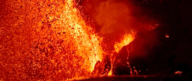

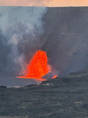
With Kīlauea erupting in Hawai'i Volcanoes National Park, I knew I needed to get out there to hike around the crater. Kīlauea started erupting inside the Halema’uma’u Crater inside the main Kīlauea Caldera on December 23, 2024 around 2:20 a.m. The eruption event sent up lava fountains throughout morning and into the afternoon when it suddenly stopped. In that time it produced enough lava to cover the entire floor of the Halema’uma’u Crater. In the last few hours of daylight, with the fountaning stopped, there really was not much to look at. Once complete darkness fell, I was left with an awe-inspiring view the glowing crater floor.
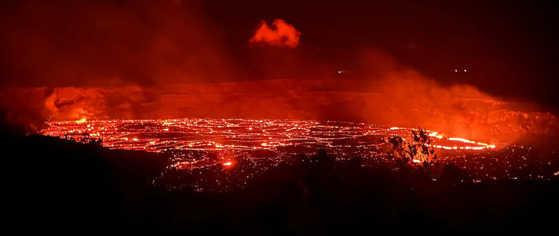

After taking a pause of about 12 hours, the eruption re-started in the same spot the next day. Knowing how suddenly eruptions here can start and stop, I didn’t want to miss out on seeing this lava fountain in person. So, I packed my hiking gear, jumped in the car, and headed to the park.
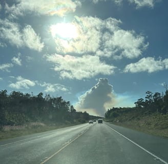
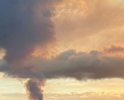
On the drive up to the park from the east, I could clearly see the smoke plume from the eruption. I knew that there was going to be extra traffic and people at all the good viewing spots for the eruption, so I decided to park at Kīlauea Iki overlook. While this is usually a busy lot, I thought it would be less busy with the eruption going on. I found a parking spot just before 4 p.m. I got my shoes on, my backpack situated, and headed off.

My goal for the day was to find great viewing locations for the lava fountains. When I left the Kīlauea Iki
Overlook lot my first objective was to hike the 4.5 miles to the old Jagger Museum parking lot on the opposite side of the crater, then turn around come back to Kīlauea Iki overlook, and finally head to Keanakākoʻi Crater a mile from Devastation Trail parking lot. This would give me all the views of the eruption that could typically be driven to and with the added chance of finding a hidden view that is only found by hiking.
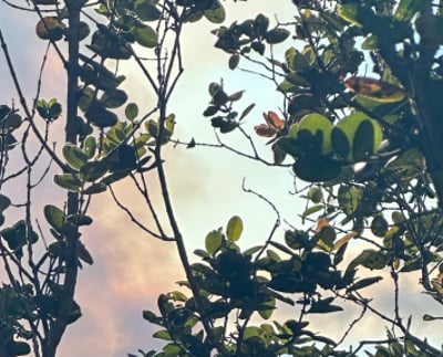

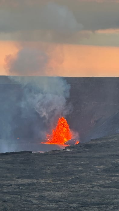
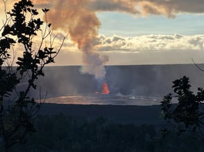
Starting off, I left the Kīlauea Iki overlook parking lot and took off on the Crater Rim trail heading to the Visitor Center. At first, there was not much to see other than looking into Kīlauea Iki. Then after coming around a bend in the trail, the trees parted and provided a clear view. Looking out over Kīlauea Iki and Byron Ledge, I was given my first sight of the fountain inside of Halemaʻumaʻu. While this was just a glimpse, it didn't take long to get an even better view.
Seeing this definitely put a fire under my butt to put some steps down. Continuing on, the trail follows the Kīlauea Iki rim before it meets the trail down to Byron Ridge and the Kīlauea Iki trail. Shortly before the trail junction, there is a great spot for looking into Kīlauea Iki, which also gave me a great view into Kīlauea. I have visited this viewing area many times. Knowing that the lava fountain in Halemaʻumaʻu was about 200-300 feet tall really put today's vista into a new perspective, showing how wide and deep the craters really are.
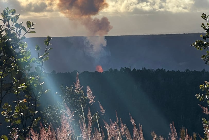

Having arrived at the trail junction I earned an even better view of the fountain. This only made me want to hike faster, so I could get to the other side and see if the sight was even better. While I was curious about the view on that side of the crater, I didn’t want to fight with traffic and parking over there. My next short-term goal was to get to Walden Ledge, which is very close to the Volcano House. This vantage point would pretty much be the farthest point of the crater rim from the fountain. Even though it is 2 miles from the fountain, you could still see it quite well.


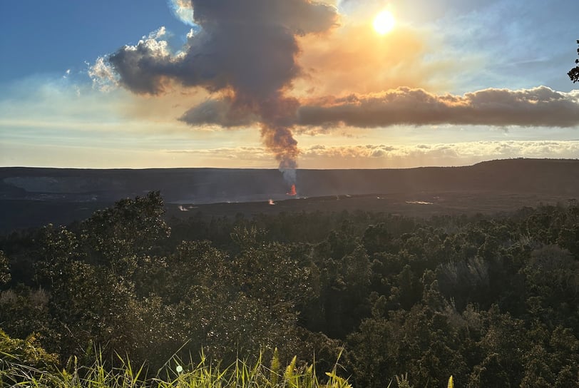

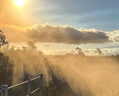
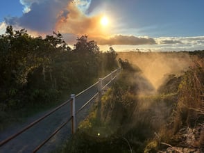
After stopping at the Volcano House for a couple of pictures, I continued following the Crater Rim trail to the Steam Bluffs. Before I arrived at the Steam Bluffs, the trail took me past steam vents. These vents are right on the edge of trail, but hidden in the trees from the road. It is very important, when deciding to take this section of trail, to remember to STAY ON THE TRAIL. There are vents and holes hidden all around that are hard to see. On this day, these steam vents were really putting off a good amount of steam, and during the golden hour I couldn’t help but to take a few pictures.


Next on the trail is the Kīlauea Lookout. A good portion of this 1-mile section is in the trees, but very close to the rim. It is very tempting to walk off trail to get a closer view, but it is also dangerous and potentially unstable. Sadly, I saw way too many people ignoring the signs and going into the roped off sections. Please do not be like those f’n haoles (See Pono Travelers Section) and stay on the designated paths. Kīlauea Lookout is the last spot on this side of the rim that I was able to see the fountain, despite being much closer. Once I was at the old Jagger Museum lot, I couldn’t see the fountain at all, just the smoke plume rising from the crater.

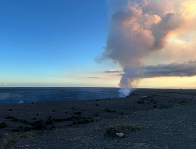

At this point, the sun was starting to go down, which meant I was running out of light, so I really had no time to stop and really take it in but, I did stop long enough to put on a long sleeve layer since it was starting to cool off. It was 5:30 p.m. and I wanted to be at Devastation Trail parking lot by 7 p.m. to meet a friend to walk out to Keanakākoʻi Crater down the closed section of Crater Rim Road together. This gave me 1.5 hours to get there, but I only had about 15 minutes until sunset and 30 minutes until total dark so I was racing the clock; I was all but running on the way back. When I reached the trail junction for the Crater Rim Trail and Halema'uma'u Trail and seeing that it was not closed during the eruption, I HAD to take it, even though I was running out of daylight. Knowing that this was going to be the most difficult part of the hike and cognizant I was running out of daylight, made this part very exciting. Because of this time restraint I didn't want to stop to pull out my flashlight and I also wanted to preserve my night vision for as long as possible.
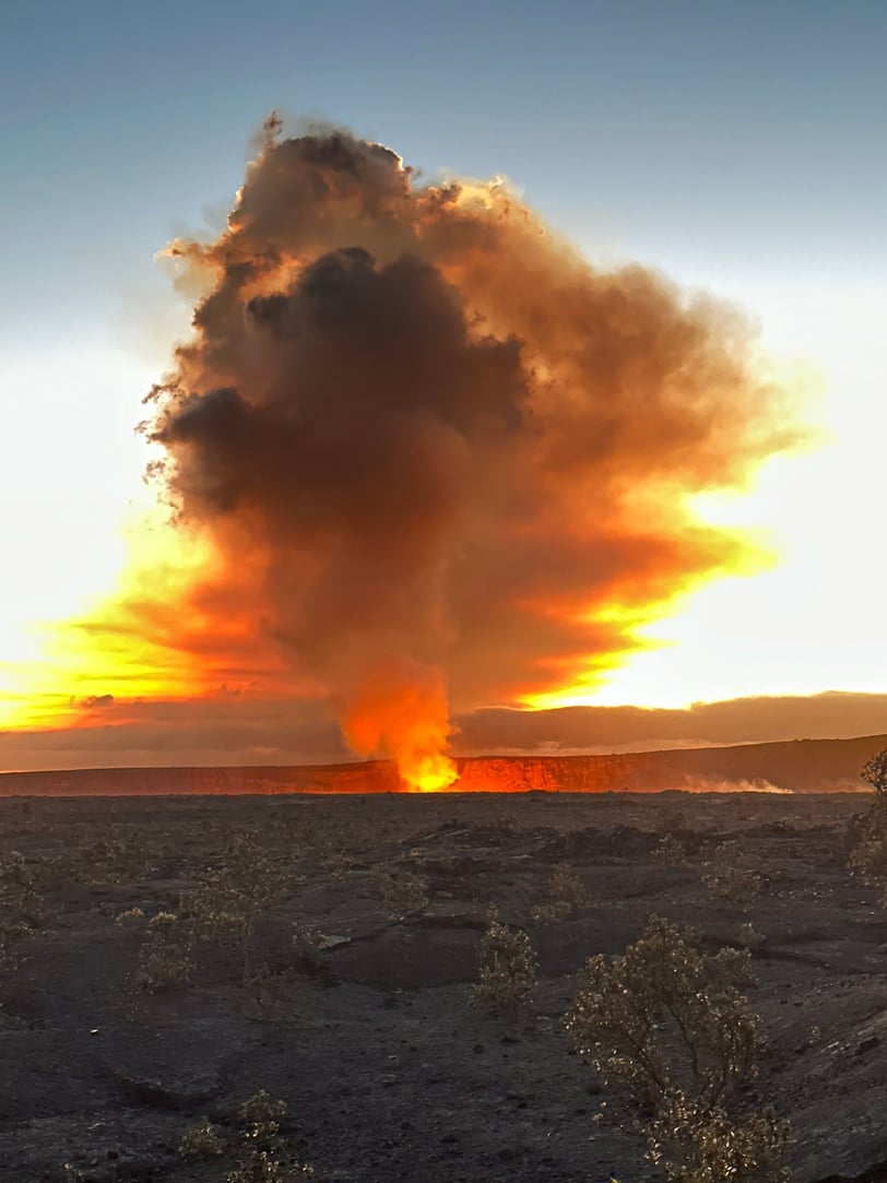
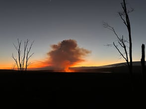
Descending into the crater is a unique hike that merits an article all on its own so be on the lookout for a follow up post. This trail quickly became tricky due to the low lighting. There are many sections of stairs and multiple single steppes that are tricky to see with out light. I was trying to balance going fast versus tripping and falling in the dark. I also knew that once I walked out of the trees and into the open in the vast caldera, I would have more light. I was going to need that light to find the cairns to help find my way across the caldera floor to Byron Ledge. While it was slightly risky, I have done this trail before, knew where I was heading, and I did have flashlights if I needed them. Luckily, this trail is the easiest trail over open lava flow to follow that I have done in the Park. This also gave me the opportunity to take one of my favorite pictures it took all day.

I had just enough light left to make my way across the open lava field, and ascend the tight, steep switchbacks up to Byron Ledge. I was hoping that there would be some good spots on this trail to see the eruption, but sadly there were not. Flashlight was definitely required at this point since it was pretty much pitch dark out in the trees. I continued on Devastation Trail and made the ascent to the parking lot. This incline is always a killer on the legs. I definitely do not recommend this trail if you have any major mobility issues. The trail is steep, slanted, and covered in loose gravel. Hiking poles are useful in this section. Once I made the climb up, I still had to make my way to the parking lot. The trail during the day is pretty obvious due to the footpath worn into the gravel, but at night, even with a flashlight, it can be difficult to follow since there is not much signage or trail markings. Even with multiple trips on this trail, I used the map on the National Park app to double-check my exact location and direction. The dangerous thing about this section is also that there are also open holes near the trail that, if I was not paying attention, I could easily have fallen in. Eventually, I made it to Devastation trail parking lot with 15 minutes to spare.
Finally, I could sit down!
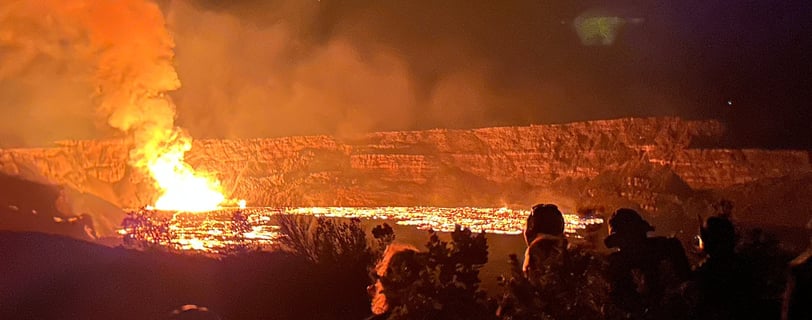

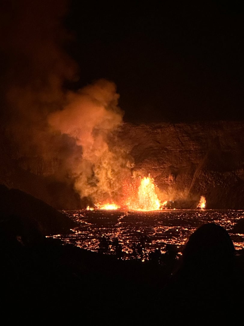

After meeting up with my friend, who brought my service dog, we made the easy 1 mile walk out to Keanakākoʻi Crater. This mile of the old road runs parallel with the Crater Rim Trail in this area of the park. This was by far the best view that I found of the fountain and the glowing lava fountain in the crater. Since the fountain action had not been going as long as it had the day before, only about half of Halemaʻumaʻu crater was covered in glowing lava.
In the end, I hiked 11.3 miles in 3 hours 16 minutes and traversed 1,417 feet of elevation gain. This was an amazing experience and I will be honored do it again, when Pele summons. Moments like these reinforce our need to slow down, and enjoy the grandeur of our ever changing planet in all its ever changing glory.

Gallery
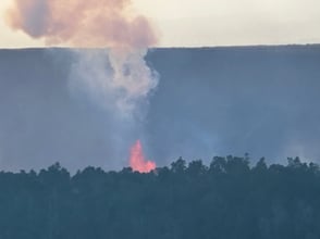
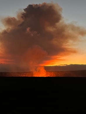
Here are a few more pictures take on this hike.




Disclaimer: As an Amazon Associate, I earn commission from qualifying purchases.
© 2024. All rights reserved.
“Ua mau ke ea o ka aina i ka pono."
" The 'life' of the land is perpetuated in righteousness."
King Kamehameha III

